

 Burns Lake, BC Traffic Cameras
 DOT Reports for Burns Lake
 Burns Lake Live Traffic Chat Room
 Burns Lake Archives
Current Burns Lake British Columbia Traffic Conditions
 Other British Columbia Cities
Burns Lake British Columbia Live Traffic Cams
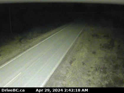
Hwy-35, near Martin Road midway between Burns Lake and the northern Francois Ferry Landing, looking north. (elevation: 760 metres) Traffic Cam
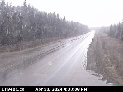
Hwy-16 at Augier Rd, about 22 km east of Burns Lake, looking west. (elevation: 774 metres) Traffic Cam
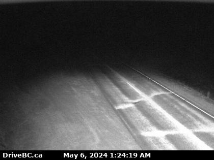
Hwy-35, near Martin Road midway between Burns Lake and the northern Francois Ferry Landing, looking south. (elevation: 760 metres) Traffic Cam
![]() More results in our Burns Lake British Columbia Archives
More results in our Burns Lake British Columbia Archives
Older Burns Lake BC User Reports
-
Constructions on Turner Frontage Rd
- Burns Lake
- British Columbia
- Turner Frontage Rd
- By Anonymous
 111
111- 1 year ago
 Burns Lake Motorcycle Accidents
 Burns Lake Truck Accidents
 Burns Lake DUI Related Accidents
 Burns Lake Fatal Accidents
 Burns Lake Car Accidents
 26° F
26° F